Journal of Science and Technique - ISSN 1859-0209
73
DETERMINING SHALLOW WATER BATHYMETRY
BY STEREO PHOTOGRAMMETRY TECHNIQUE
USING WORLDVIEW-2 IMAGERY
Minh Hang Le1, Nhu Hung Nguyen1,*
1
Institute of Techniques for Special Engineering, Le Quy Don Technical University, Hanoi, Vietnam
Abstract
Bathymetry in shallow-water areas plays an important role in marine environment
management, marine economic resource development, and national defense and security. The
echo sounding method is currently highly accurate; however, it has to deal with a variety of
challenges as a result of the high cost, terrain influence, and meteorological conditions at sea.
As remote sensing technology progresses, estimating bathymetry using satellite imagery will
help lower measuring costs and expand monitoring coverage, particularly in shallow water,
offshore areas, and difficult-to-access areas. In this article, the authors present a technique
for determining bathymetry in shallow water regions by utilizing WorldView-2 stereoscopic
images. The accuracy of stereoscopic depth measurement using WorldView-2 images is
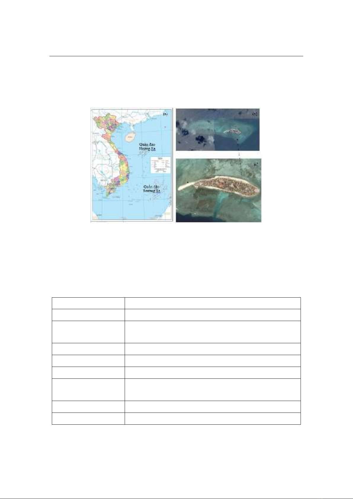
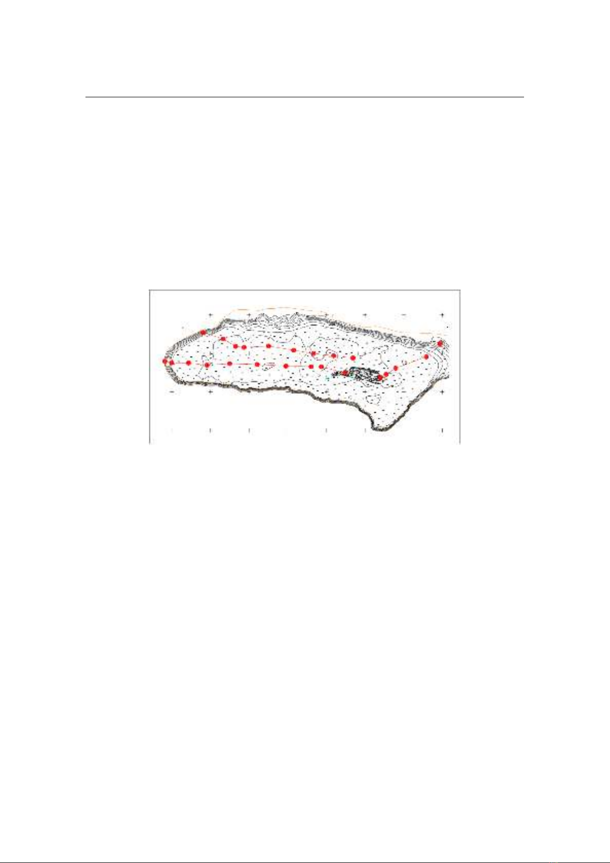
assessed by field depth measurement using the single-beam echo sounder. The study area is
Nam Yet Island. The coefficient of determination (R2) between the two datasets (field
measurement data and using satellite images) is 0.9. The stereoscopic satellite image method
of depth measurement is highly accurate for regions with depths below 5 meters. The
accuracy of the stereoscopic measurement decreases as the depth increases by more than
5 meters.
Keywords: Bathymetry; shallow water; stereo photogrammetry; WorldView-2 stereo images.
1. Introduction
Bathymetry is the study and practice of measuring the depth of bodies of water,
such as lakes, rivers, streams, and oceans, from below the surface [1]. The term
"bathymetry" refers to the depth of the ocean above sea level, but it can also refer to the
depth and shape of underwater terrain. A bathymetric map depicts the underwater
topography using an approach similar to that of a topographic map. The deep-water
contours and colors represent the topography of the underwater terrain.
Satellite images, depth echo sounding (SONAR- SOund Navigation and Ranging),
and airborne LiDAR depth measurement (ALB) are a few of the methods currently
available for determining the depth of the ocean. This approach, however, is not suitable
* Email: nguyennhuhung@lqdtu.edu.vn
DOI: 10.56651/lqdtu.jst.v7.n01.831.sce